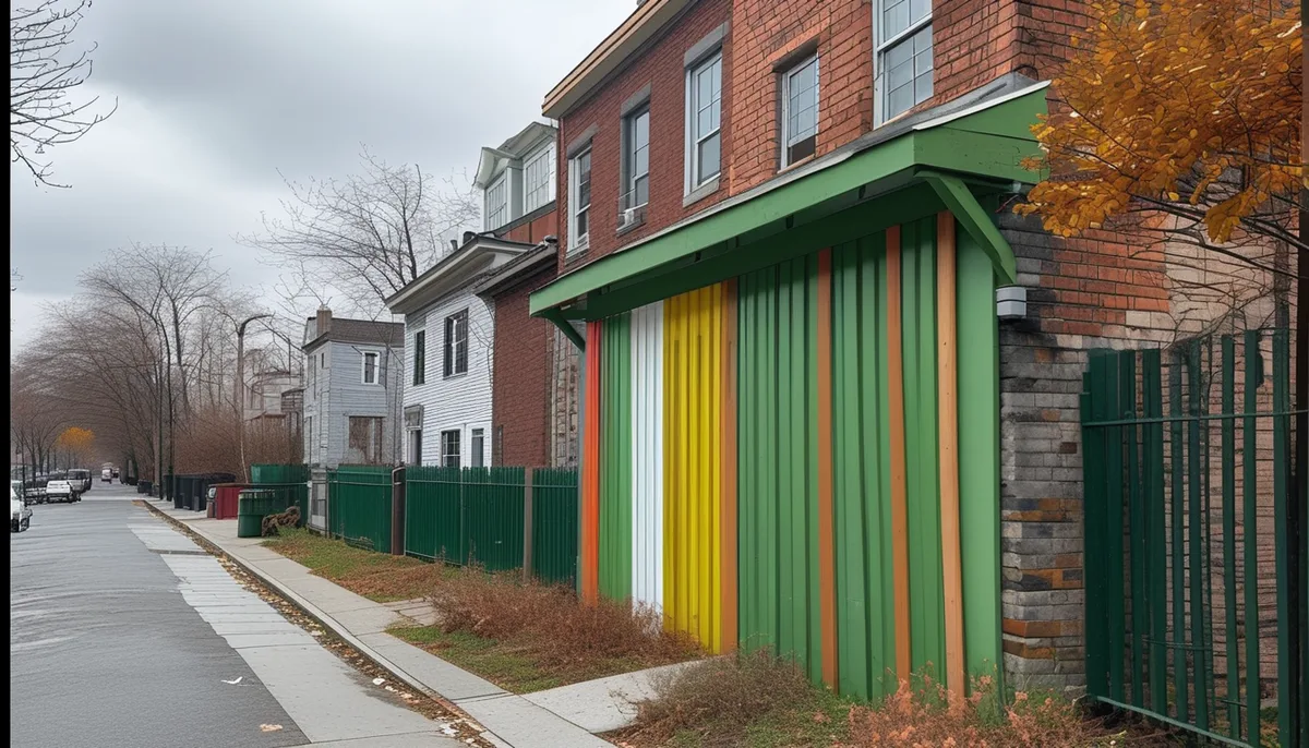
Warehouses rise in Rockland County where the zoning says they can. Every town and village keeps its own zoning map, and only parcels marked for industrial or limited industrial use can host the big distribution centers that have reshaped parts of the county. Residential zones don't allow them, and most commercial zones don't either.
That sounds like a technical detail, but it decides real things: which towns collect the tax revenue a warehouse brings, which roads carry the trucks, and which neighbors live next to a loading dock. This explainer walks through how the classifications work, why certain corners of Rockland became logistics hubs, and what the trade-offs look like for the property tax bill.
What industrial zoning actually allows
Zoning is the local law that sorts land into districts — residential, commercial, industrial, and mixed categories in between. A residential district permits homes. A commercial district permits stores and offices. An industrial district permits factories, yards, and, in modern practice, warehouses and distribution centers.
Most Rockland towns don't have broad industrial districts left. What they have are limited industrial or light industrial pockets, often along highway corridors or rail lines, carved out decades ago. In those pockets, a warehouse is typically allowed as of right, or allowed with a special permit from the planning or zoning board. A special permit means the applicant must show the project meets conditions — traffic, screening, hours of operation — before the board signs off.
A rezoning is the third path. A landowner can ask the town board to change a parcel's designation from, say, commercial to industrial. That triggers a public hearing and an environmental review under the state's SEQRA process — the State Environmental Quality Review Act, which requires the board to study impacts like truck traffic and stormwater before deciding. Our earlier coverage of the state's new development rules explains how New York signed the Let Them Build housing agenda into law, easing the path for suburban development, and rezoning fights now unfold against that backdrop. Readers following this should also see New York signs the Let Them Build housing agenda into law, easing the path for suburban development.
How industrial zones differ from the zones next door
The differences come down to what's permitted, how intensely, and with what conditions.
- Use. A residential zone lists housing types. A commercial zone lists retail, offices, and restaurants. An industrial zone lists manufacturing, warehousing, freight terminals, and outdoor storage.
- Intensity. Industrial zones usually allow bigger buildings and more of the lot covered — floor-to-area ratios that dwarf what a shopping plaza gets.
- Performance rules. Industrial districts carry the strictest conditions on noise, lighting, truck routes, and hours, because boards expect heavy use.
- Neighbors. A warehouse can legally operate near homes only where the map says so, which is why buffer strips, berms, and fencing become the visible evidence of zoning at work.
One wrinkle worth knowing: many towns use overlay districts or planned development districts, which layer special rules on top of the base map. A parcel might be industrial on paper but restricted to a specific kind of project by an overlay. So the printed classification is the start of the answer, not the end.
Why certain towns became distribution hubs
Logistics companies pick locations by geography, and geography doesn't change. Warehouses need land near major highways, with room for truck turning, and close enough to customers to hit delivery windows. In Rockland, that points to parcels near the Thruway and the bridges, and to the flatter, larger sites that were never attractive for housing.
The pattern is common across the Hudson Valley and the suburbs generally: as land closer to New York City filled up or priced out, distribution centers pushed farther out, following the highway network. Towns with pre-existing industrial zones along those corridors became the natural landing spots. A town that zoned a corridor for light industry in the 1970s, when the concern was factories, now finds that same designation fits a modern fulfillment center almost perfectly.
Local government choices matter too. A planning board that processes applications predictably, and a town board willing to entertain special permits, makes a corridor more attractive than a neighboring town with the same land but a slower review. Developers follow certainty as much as highway ramps.
What this means for your tax bill
The fiscal argument for warehouses is straightforward at first glance. A distribution center is a large building on a large parcel, assessed accordingly, and it sends few children to the local schools. For a town or school district looking to grow its tax base without adding many students, that combination is the reason industrial land is prized. How that revenue fits into the broader levy — and the state's limits on how fast it can grow — is covered in our explainer of Rockland County's sales tax, explained, which looks at the other half of the local revenue picture.
But the trade-offs are real, and residents raise them at every hearing. Warehouses generate truck traffic on local roads, around the clock in some operations. They create noise, lighting, and diesel emissions near homes. They occupy land that could host other kinds of development. And while a warehouse pays property tax, it employs fewer people per square foot than the factories that once defined industrial districts — so the jobs argument is thinner than it used to be.
Our analysis: the honest framing is that a warehouse trades neighborhood impacts for revenue. Whether that trade is worth it depends on where the trucks go, how the site is screened, and what the alternative use of the land would actually be. Those are exactly the questions SEQRA review and a special-permit hearing are designed to surface.
How residents can follow a warehouse proposal
Zoning decisions happen in public, and the paper trail is public too.
- Find the classification. Town and village zoning maps are posted on municipal websites. Look up the parcel address to see its district.
- Check the agenda. Planning board and zoning board agendas list applications, hearings, and dates. Minutes record what was decided and the vote.
- Read the environmental review. For larger projects, the SEQRA record — traffic studies, stormwater plans — is filed with the lead agency and available on request.
- Show up or submit. Public hearings accept written comments as well as testimony. Comments on the record become part of the file the board must consider.
The county's broader civic machinery — who decides what, and where the documents live — is laid out in our government coverage, and day-to-day applications and approvals appear in our business section.
Where the trade-off lands
Industrial zoning is the quiet force behind Rockland's warehouse boom. The map, drawn decades ago, determines which parcels can host distribution centers, which towns collect the revenue, and which streets absorb the trucks. The revenue case is genuine; so are the traffic, noise, and land-use costs, and the public review process is where that balance gets argued parcel by parcel. What remains unknown in any given case is the alternative: what the land would have hosted if the zone allowed something else. That counterfactual never gets built, which is partly why zoning debates stay heated long after the map is printed.
Sources: rocklandtrust.com · thecrazytourist.com